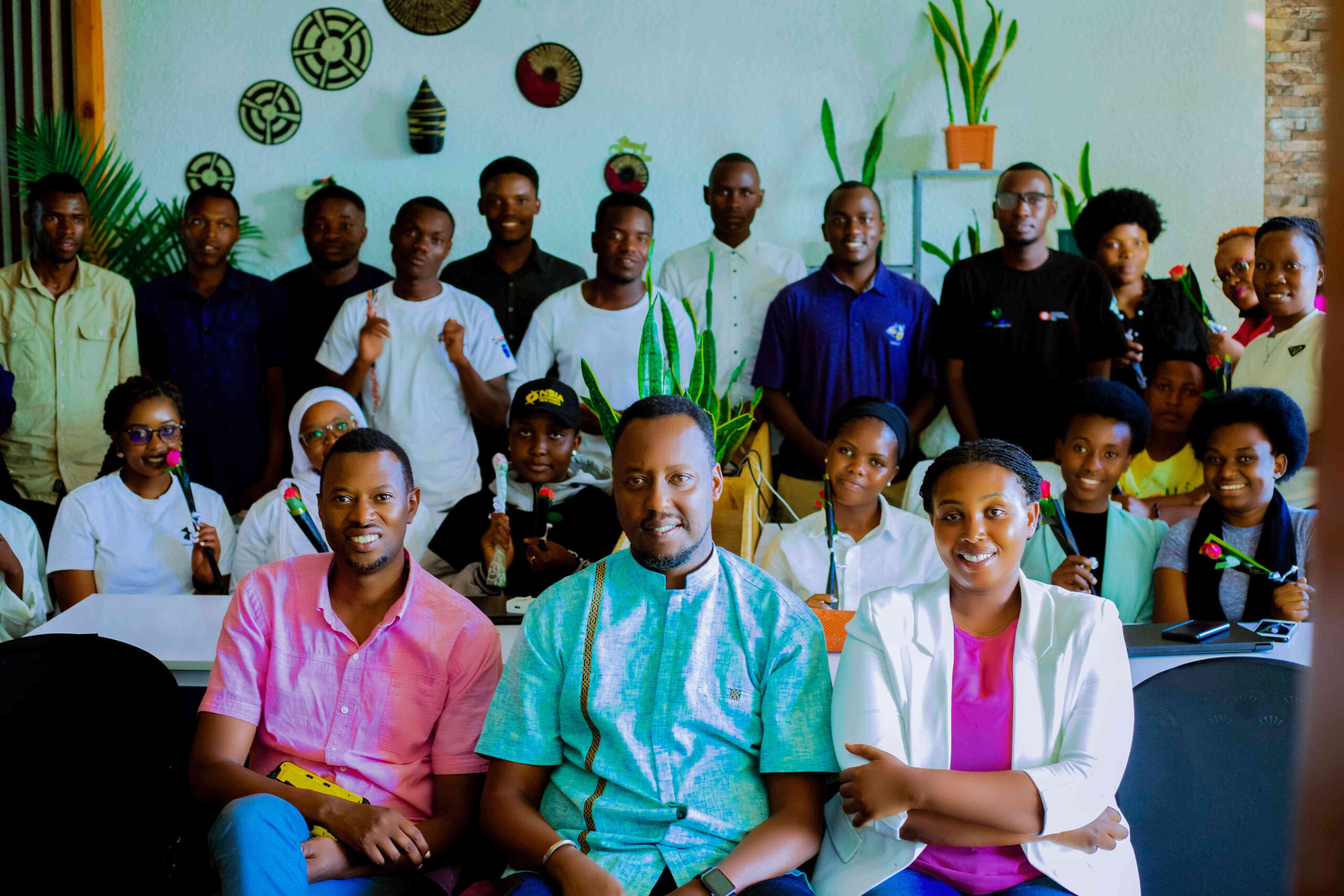
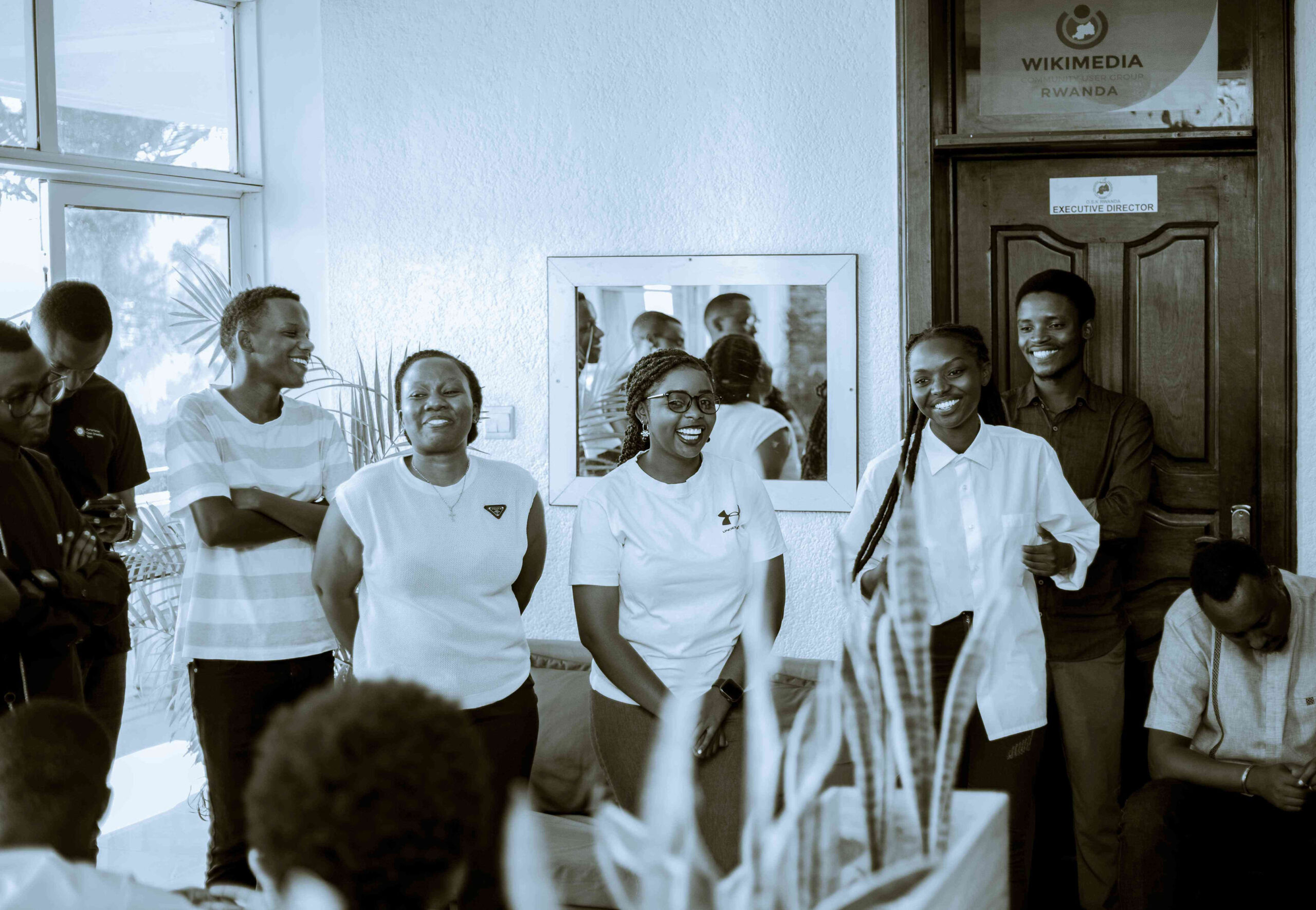
Front L-R: OSM officials, Bernard Hakizimana, Camille Nyamihana and Rebecca Jeannette Nyinawumuntu celebrated the International Women’s Day 2025 with young mappers.
After 15 years of making Rwanda visible, accessible and readable on the global digital and geospatial maps, Rwanda’s community of mappers, OpenStreetMap Rwanda (OSM Rwanda) are now seeking to expand their activities to different sectors across the country.
OpenStreetMap is a global community of data collectors who create geospatial database platforms where they map different infrastructure, environmental features and amenities with accuracy and real facts.
This free data, mostly used in aviation, tourism, navigation activities can be found online-on google maps and other digital platforms or applications such as the Mapillary- a platform that makes street-level images and map data available to scale and automate mapping.
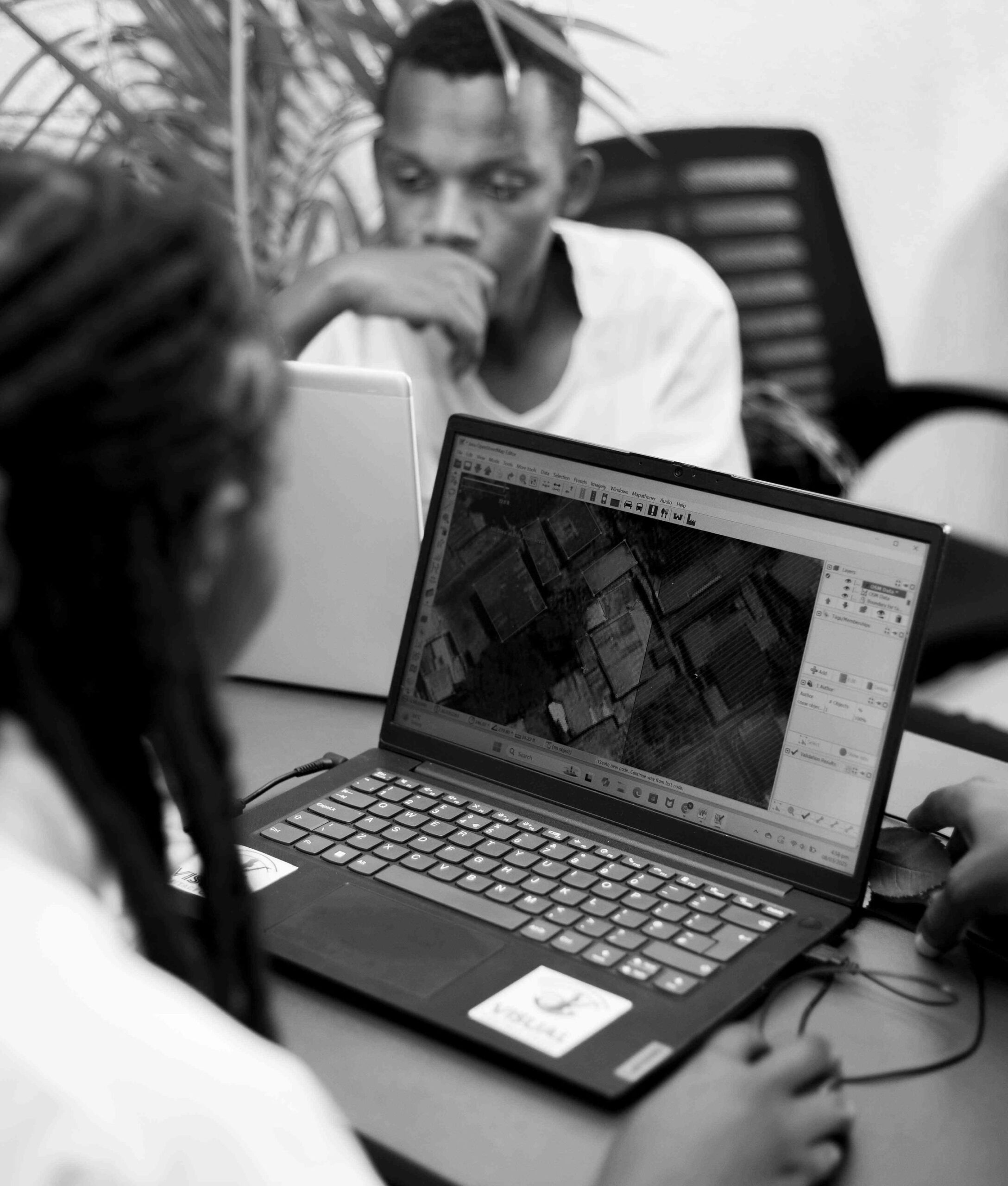
Mapping is an art which requires a good working environment, concentration to provide accurate, detailed facts and features on maps.
In Rwanda, the Ecomappers community, as they are locally known, is composed of over 300 women and men who volunteer to make it possible for anyone to use digital mapping applications to find street directions, see, identify and experience the exact features in the ecosystem in Kigali city and other parts of the country.
This work is not done by computers but young women and men who have been given an opportunity to do something with their lives, strive to make a difference in the community but also shape their futures. All this courtesy of the youth training programs at the OSM Rwanda- which aim at creating youth job opportunities contributing to the country’s agenda of creating 1.5million jobs annually.
“Most of our mappers are students and fresh graduates who have no jobs but through our training programs, we give them an opportunity to learn new skills which have been impactful to the geospatial community but also provided incomes and employment for many,” says Rebecca Jeannette Nyinawumuntu, Founder and Community OSM Rwanda.
Rebecca Jeannette Nyinawumuntu, the woman behind OSM Rwanda initiative believes women are the best natural mappers.
The mappers’ community has implemented some major projects in the areas of humanitarian response, climate mitigation and biodiversity protection, which have changed and improved the way map users navigate, understand, identify locations and key infrastructure but also respond to community environmental needs.
For instance, following the 2023 flood disaster in Shyira in Nyabihu district, the community moved to the rural district to map real time flood impact, risks and response needs by collecting and presenting data that was used by government and humanitarian organisations to assess the impact and make informed decisions and responses.
Following the implementation of this data collection exercise, OSM Rwanda mappers say they learnt a lesson of empowering communities thus embarked on training communities with basic mapping skills but also foresee future disasters.
Jacque Niyigena (standing) with rural OSM members who came all the way from Ngororero district
“This enables the community to tell their own story and not have to wait for OSM to come in. For example we embarked on mapping the entire Ngororero district and train the community and formed the OSM Ngororero community to report the disaster and alert the district to respond effectively,” said Kingsley Chika CHUKWU -a Remote Sensing Specialist, Geospatial Analyst, Data Scientist, and Researcher at OSM.
Chukwu, also named the “King of Mappers” is one of the OSM Rwanda members who joined the community as a volunteer after completing his studies in Nigeria and was not sure of what next to do, but after years on contributing to the digital platforms is current a team lead in the Humanitarian OpenStreetMap Team (HOT).
Chukwu says that the OSM Rwanda has given him the opportunity to meaningfully contribute to the Rwandan knowledge and data platforms which are making a difference in his life and of others.
“This information we are providing is for the entire world to be able to see Rwanda digitally. The difference is we are doing a community based mapping, where we give clear, accurate and detailed information (including local names) and features which you cannot see on the google map,” Chukwu said.
Other projects conducted by OSM Rwanda include mapping the Kimironko- Remera Gasabo informal settlement (urban settlement and sustainable city transport), Role of women in agriculture and food security (in Kitabi), Rwanda Mountain Tea where all tea plantations (8) owned by the company where mapped to increase climate and green growth (ESG).
The Informal settlements mapping in Musanze Secondary City; Digital Umuganda in Kimisagara and Nyarurama Umuganda project in Gatenga to collect attributes on each housing (how are they made); the Kinigi Tourism Zone for showing the tourism information; and Data collection project on health amenities within KIgali city.
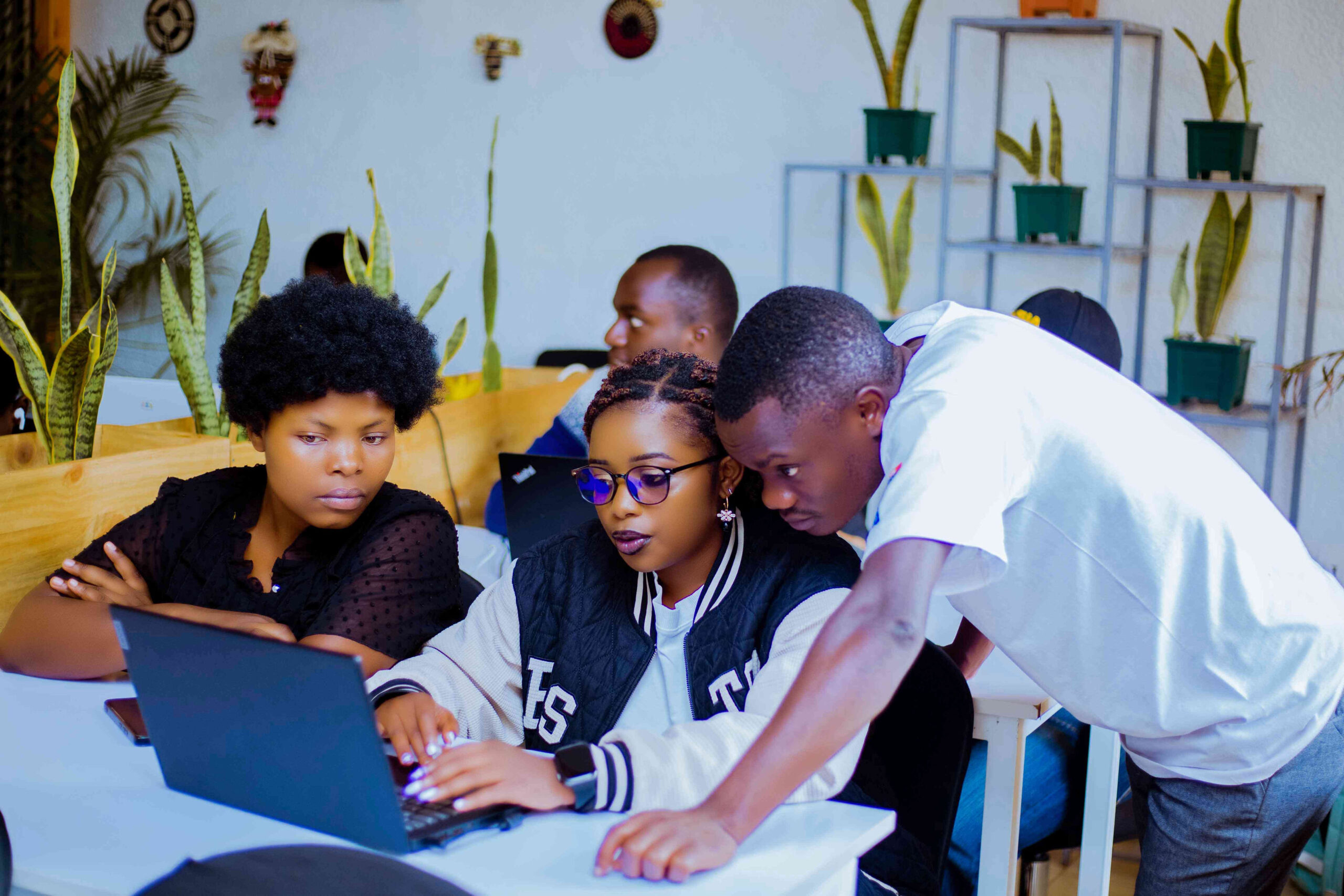
Mapping session in progress with guidance from one of the best female mappers
This work is not only done by men, but also women, who are considered to be the best at the mapping job, locally but also awarding winning mappers on the global level, according to the OSM officials.
To recognise the role of women, OSM Rwanda, in collaboration with TomTom Technology, celebrated the International Women’s Day 2025, on March 8, where the community highlighted the role of women in this initiative.
Besides the humanitarian mapping activities, OSM Rwanda says that women have contributed to the climate mitigation program of planting and mapping 500 trees of four different species for climate mitigation action.
Some of the best OSM mappers in Rwanda and globally were recognised
These mapped trees can be monitored with use of a “EVERY DOOR” application-which enables future and progress monitoring of tree and enables the mapper to see coordinates or location of the tree, see types of tree planted and names of tree (with a scientific and local name) but also add other attributes like size, add picture, elevation, type of tree (fruit or non-fruit) among others.
Women have also contributed to the biodiversity protection program to avoid environmental and biodiversity loss by mapping protected areas such as swamps, wetlands, water ways, and planting trees that specifically protect biodiversity. These are visible in four projects which include: Kigali urban wetland, Muhanga urban mapping, Mpazi river catchment, Urban green mapping Nyarugenge.

Lillian Nishimirwe, who considers mapping as a career of patriotism, believes women can be better mappers.
One of the women worked on these projects, Lillian Nishimirwe, who has four years experience and has grown from a volunteer to a trainer in the community, says that mapping is patriotism.
Mapping is an act of patriotism and being a woman, this has been possible because of working on different financed projects which have also supported my welfare. Even when women are good at this job, the numbers are still minimal. However, if we get more mapping jobs, more women will be encouraged to join,” Nishimirwe said.
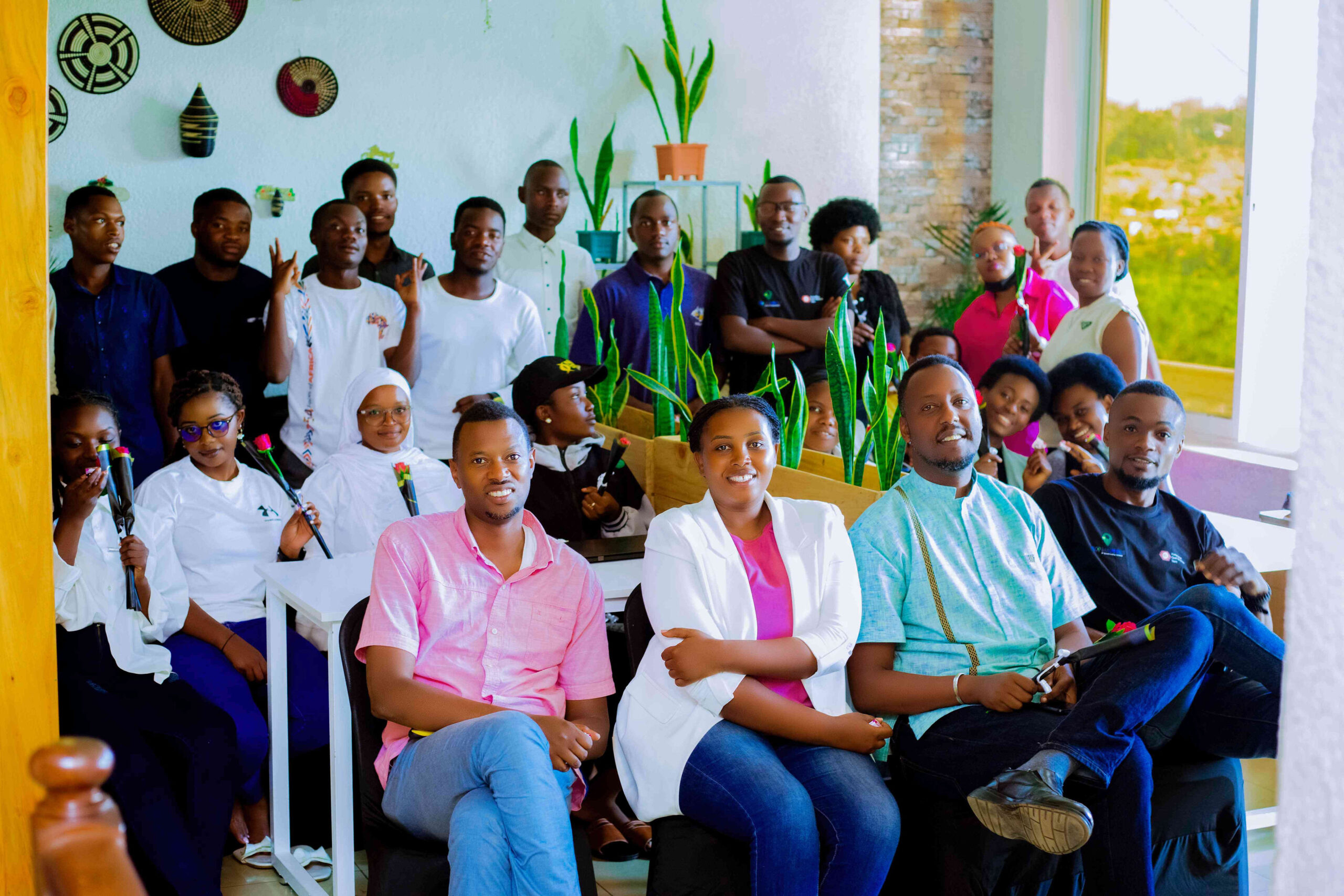
Some of the OSM Rwanda community members and board members
The OSM community founder, Nyinawumuntu says that women engagement at OSM Rwanda is a key component to their success over the years.
“These projects have been successful because of engaging women. They are very focused and determined to deliver under all circumstances, and that is a very big quality of a mapper that we see in women,” Nyinawumuntu said.
The woman behind this community since 2015 Nyinawumuntu J. Rebecca said that based on the fact that Rwanda promotes gender equality, there is need to increase the number of women mappers (currently 40%) as part of their future plan but this needs more support from government and private sector to increase their recruitment and training programs in the next five years.
This plan could face a financing hurdle as most of the volunteer mappers are trained and facilitated using limited funding collected by the OSM community from mapping jobs, co-space renting activities, donations among others.
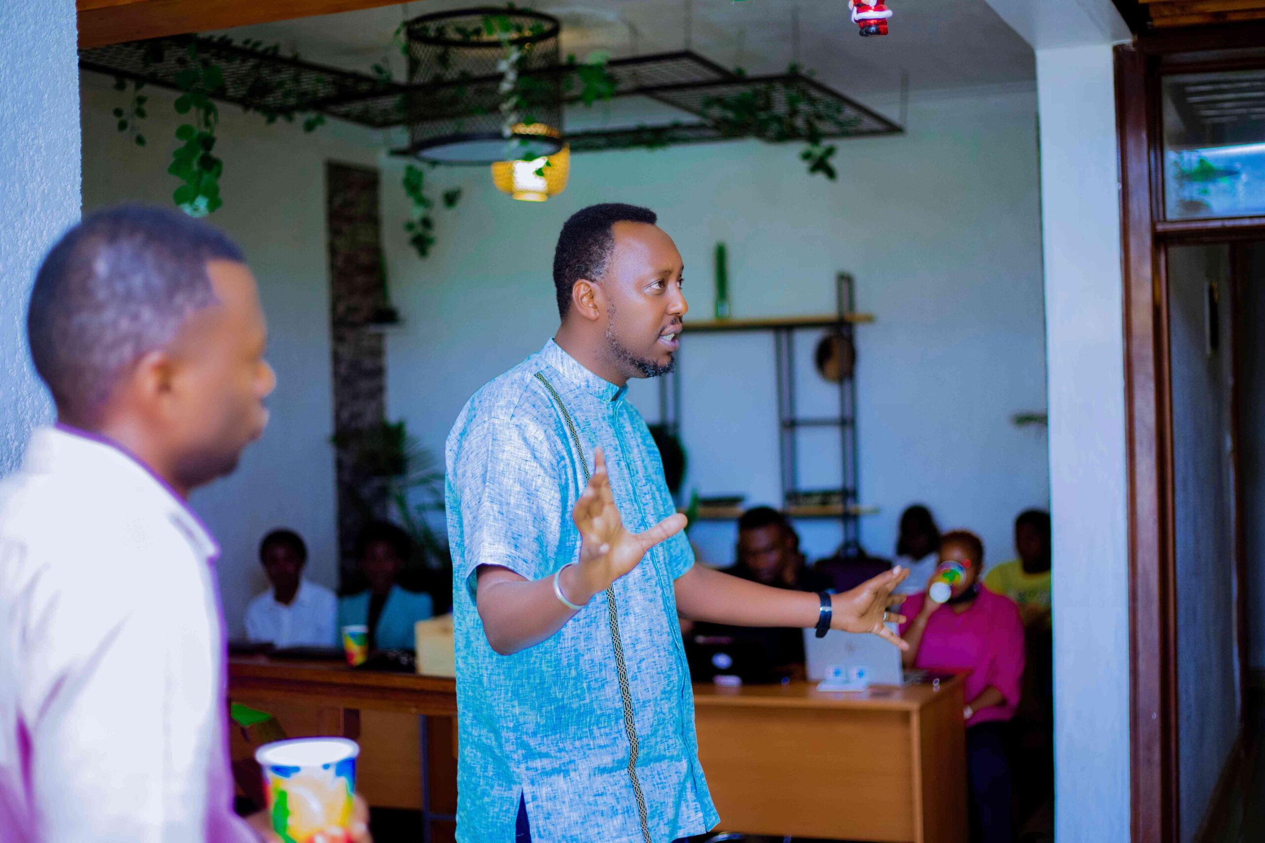
Camille Nyamihana (center) one of the OSM Board Members
Camille Nyamihana, one of the OSM Board Members, who officiated the women’s day celebration and experienced a live mapathon (mapping day) competition on a major project to map unidentified houses in Kigali said that the community has made progress and needs to expand its activities to create more impact in community and on volunteers.
“There is a need for awareness and advocacy to interest other communities. We need to engage and work with local community leadership organs but we also need other partners including NGOs to support this voluntary initiative that benefits youth in Rwanda,” Nyamihana stated.
Currently the OSM is looking at tapping into the data collection opportunities from the private sector, international organisations, development partners to increase numbers of skilled youth but also create more jobs and opportunities.
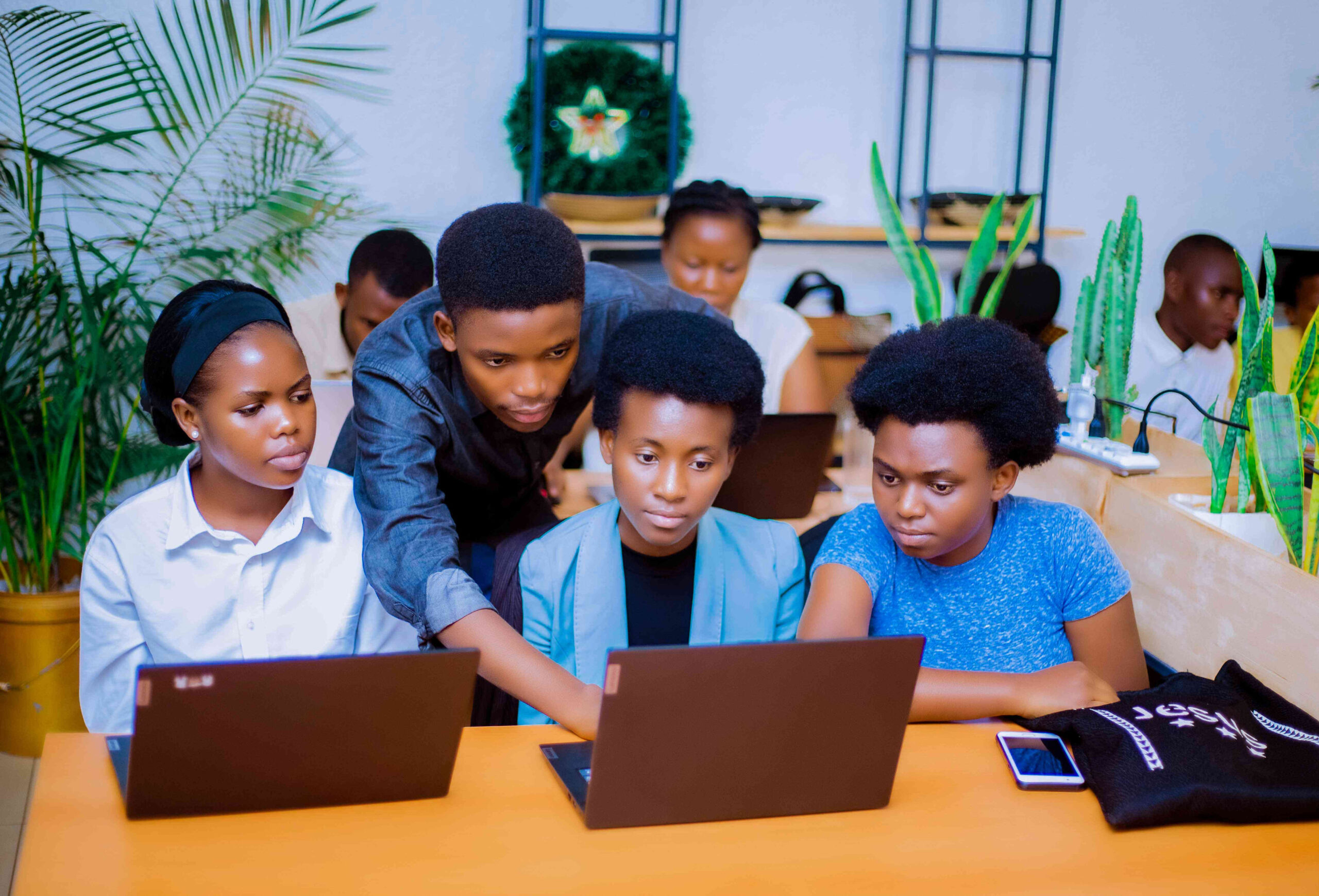
Fresh female university volunteer mappers guided by one senior mapper, Cedric Musindi

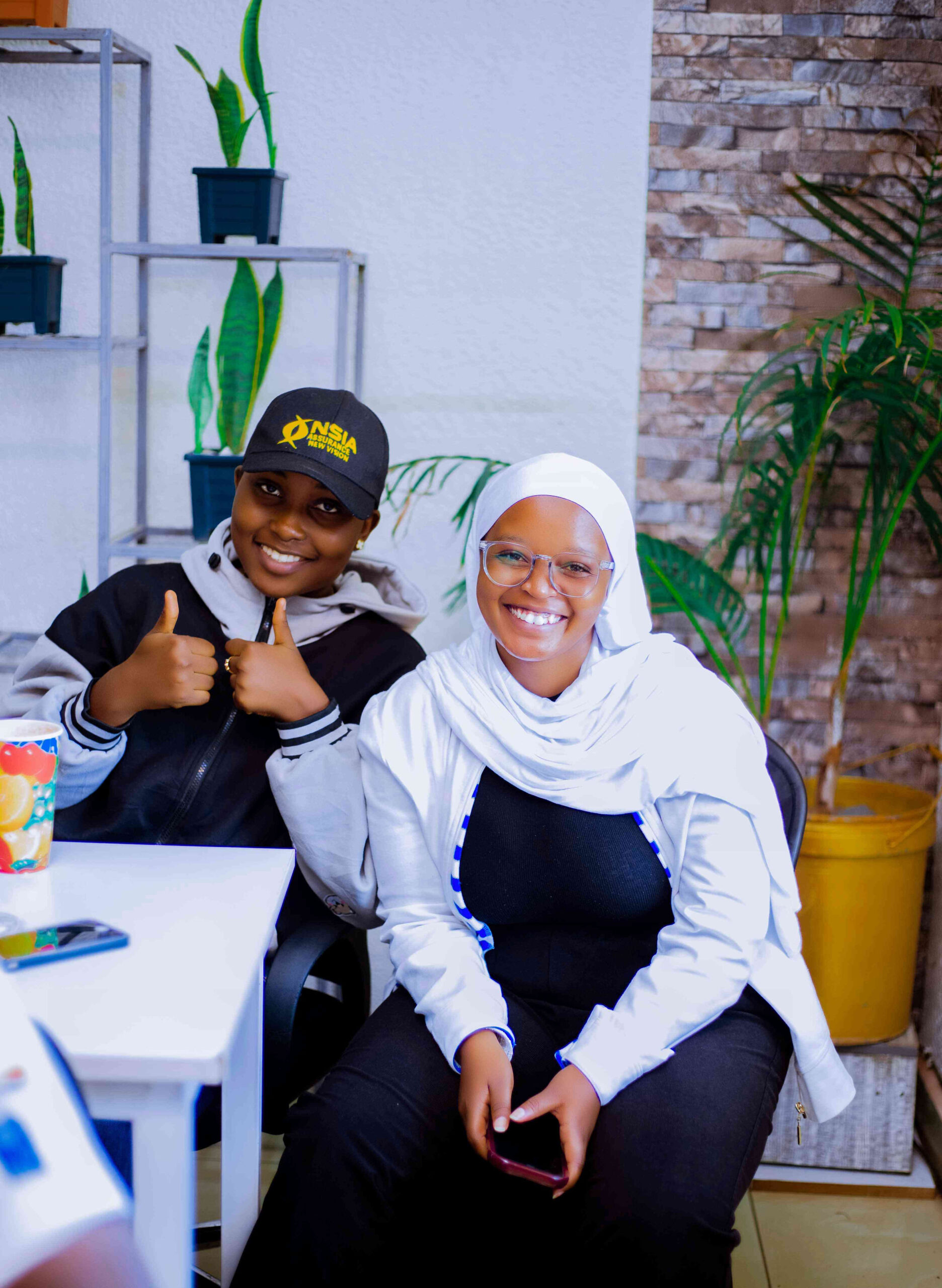
Young OSM mappers who support the training and administrative programs in Rwanda.
Female mappers say “Yes We Can” during the International Women’s Day 2025 celebrations
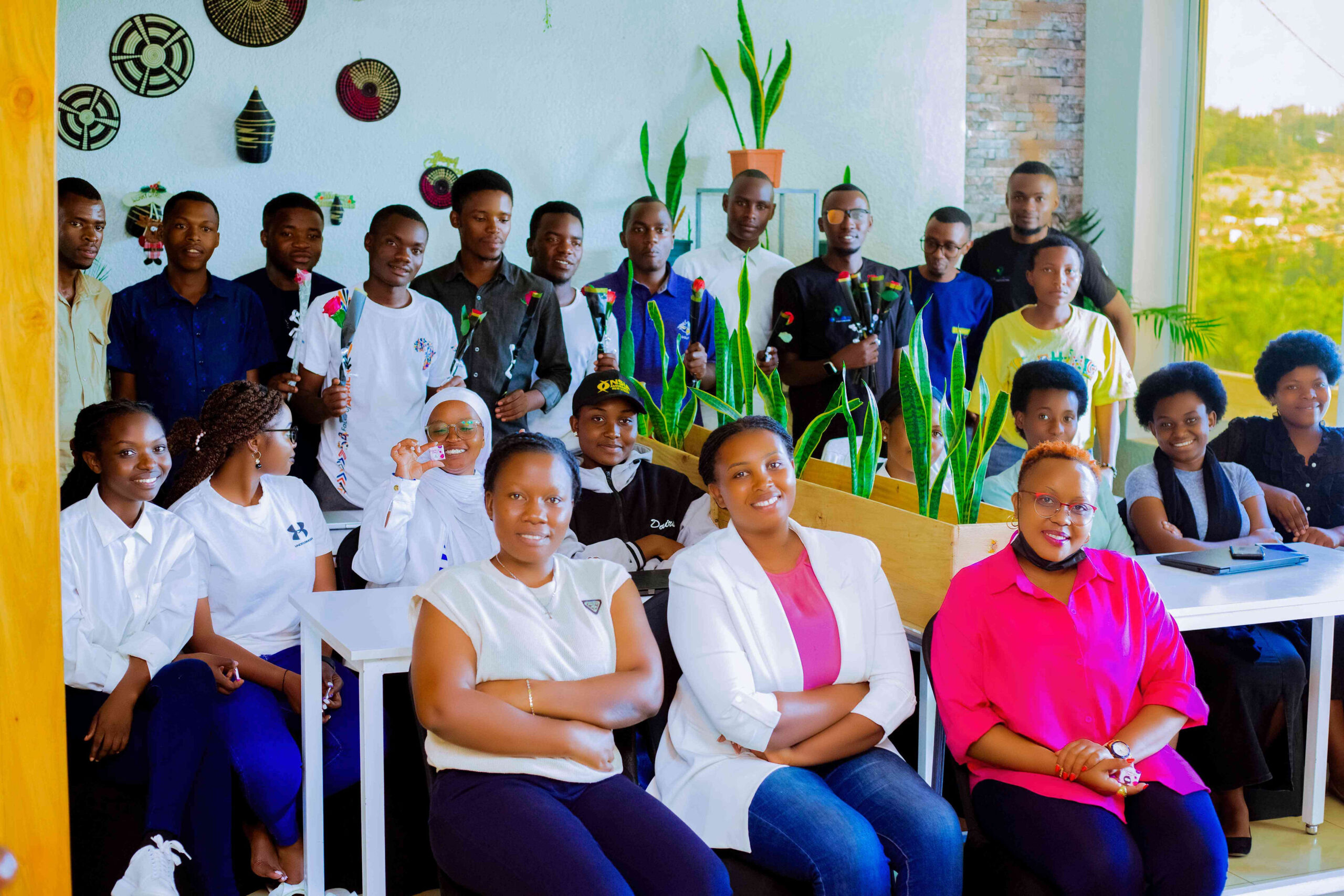
Men show their support for female mappers during the International Women’s Day 2025 celebrations where they shared gifts courtesy of TomTom Technology-a leading independent location, navigation and map technology specialist.